Public Engagement
-
No events to display.

Project Map
To interact with map, (1) use scroll wheel or fingers to zoom map in and out, (2) scroll through legend to view map layers (3) use eyeball icon to turn layers on and off (4) Click on map for more project information.
Related News
-
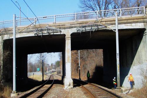
City of St. Louis Seeking Public Input on Plans to Replace Loughborough Bridge
The bridge was built in the 1950s and needs to be brought up to current standards to meet traffic and safety needs.
Press release | Office of the Mayor,Board of Public Service | 12/05/2025 -
City of St. Louis Will Host Public Open House for Feedback on Jefferson Ave. Traffic Safety Improvements
The City will host a public open house to discuss traffic safety improvements at the Cherokee Recreation Center on Thursday, August 8, from 4-7 p.m.
Press release | Office of the Mayor,Board of Public Service | 08/06/2024 -
City of St. Louis Developing Transportation and Mobility Plan
Initiative will help shape the vision for improved connectivity
Press release | Office of the Mayor,Planning Commission,Board of Public Service | 05/21/2024
Help Us Improve This Page
Did you notice an error? Is there information that you expected to find on this page, but didn't? Let us know below, and we'll work on it.
Feedback is anonymous.