North Riverfront Park
Overview and amenities for North Riverfront Park
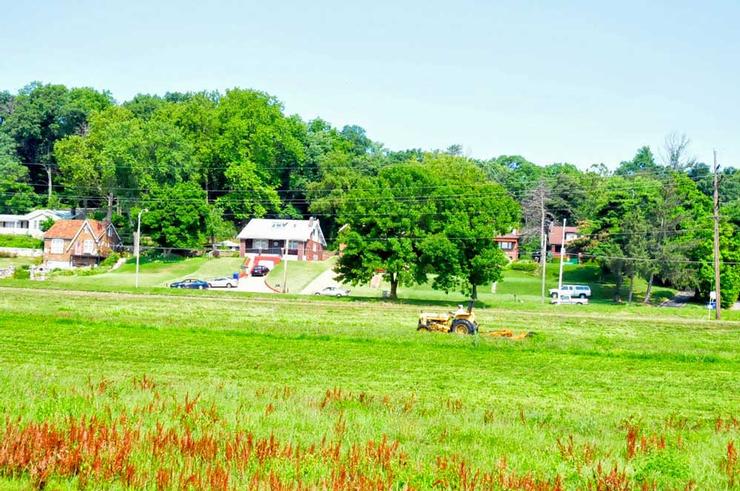
Nestled along the bank of the Mississippi River this is the City of St. Louis' northernmost park.
This parks has the best relationship with and access to the Mississippi River. This is the spot most popular with fishermen. Guys drive and walk right up to the banks and fish for mainly buffalo. This local delicacy, usually fried.
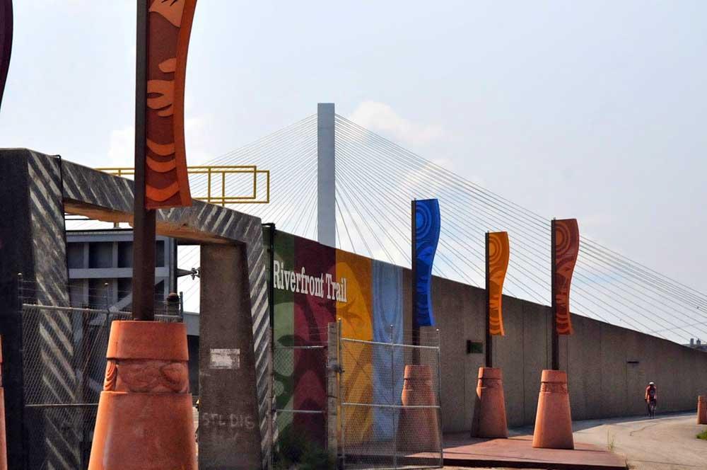
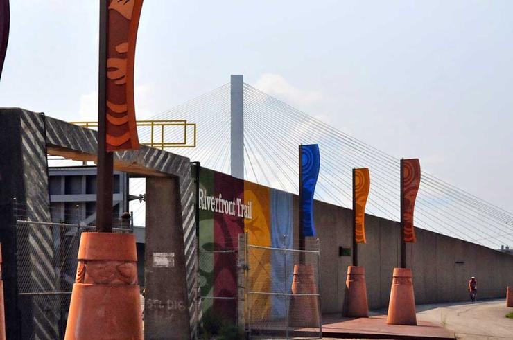
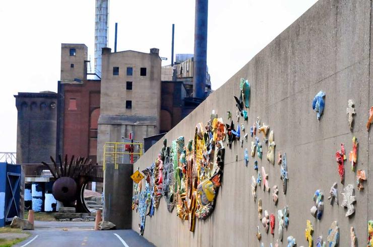
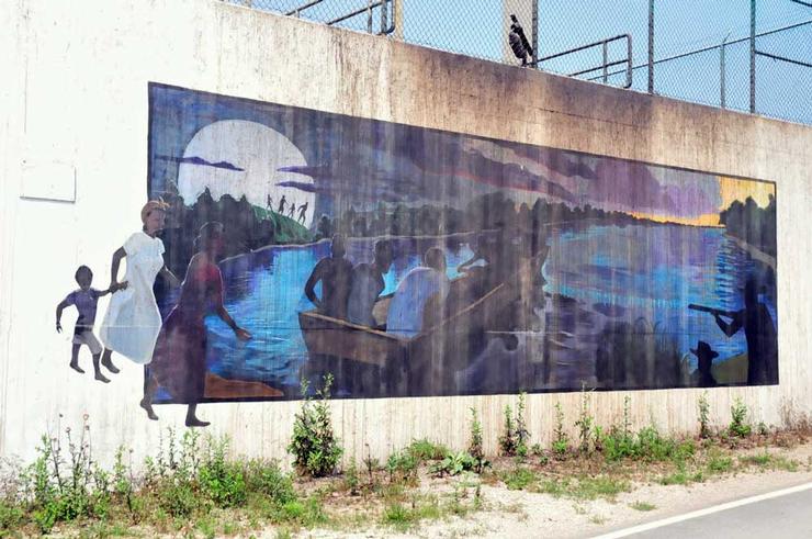
The other thing great about this park is the fact that the 10.8 mile North Riverfront Trail that connects the old Laclede Power Building at Lenore K. Sullivan and Biddle just north of the Arch to the old Route 66 Chain of Rocks Bridge, goes right through the park.
Great Rivers Greenway, the awesome regional institution connecting the metropolitan areas with hundreds of miles of trails has worked to rehabilitate this trail from 2005-2007 and there is now good signage and public art to keep this gritty, real, industrial trail interesting.
Ordinance Year: 1980
Size: 250.00 acres
Park Type: City Park
Maintained By:
Parks Division
Related Neighborhoods
Riverview
Related Wards
Ward 13
Outdoor Attractions
Sports Grounds
Park and Amenities Map
Photos

Help Us Improve This Page
Did you notice an error? Is there information that you expected to find on this page, but didn't? Let us know below, and we'll work on it.
Feedback is anonymous.
19 comments from people like you have helped us improve this page. Keep the feedback coming!