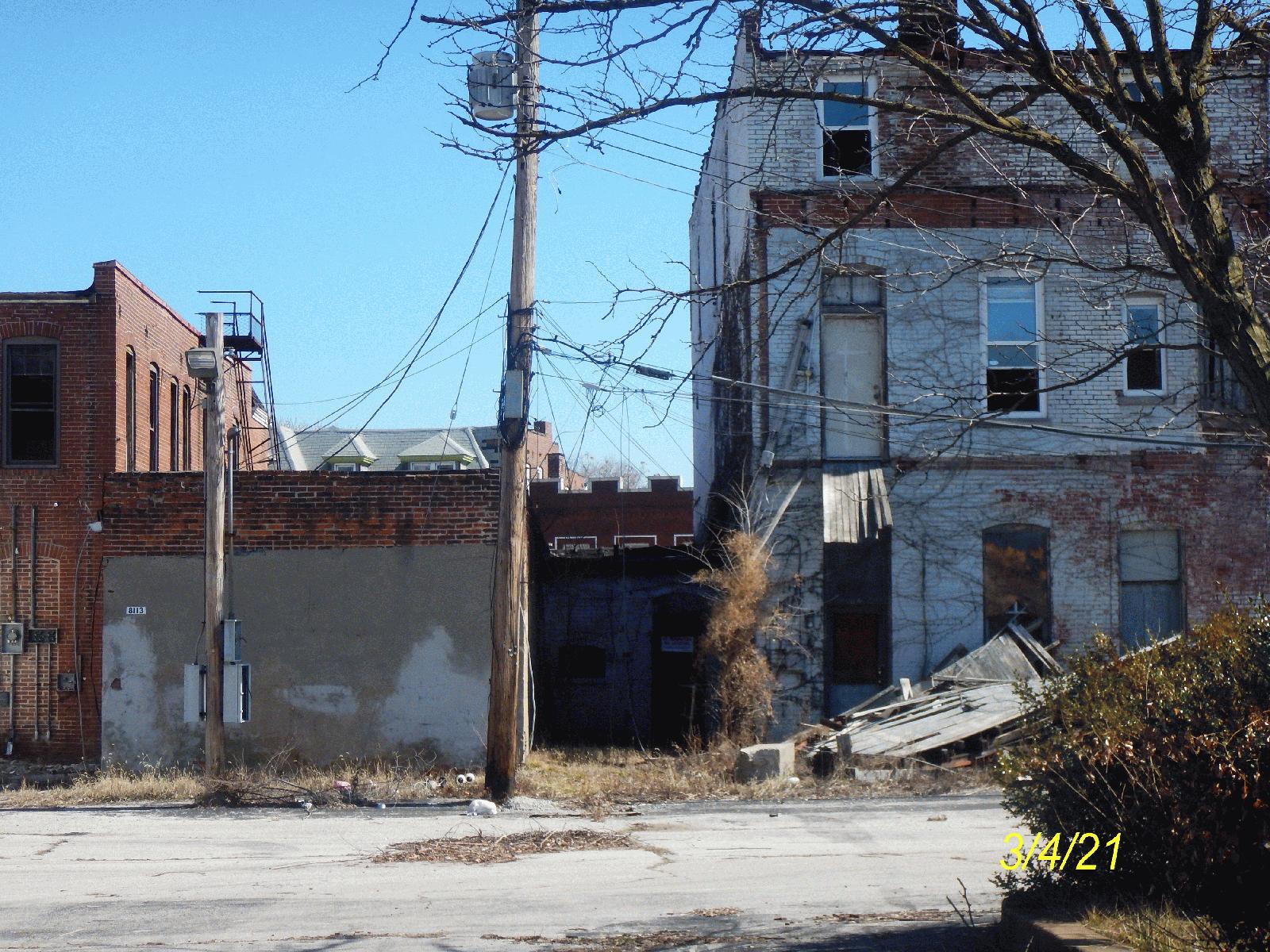
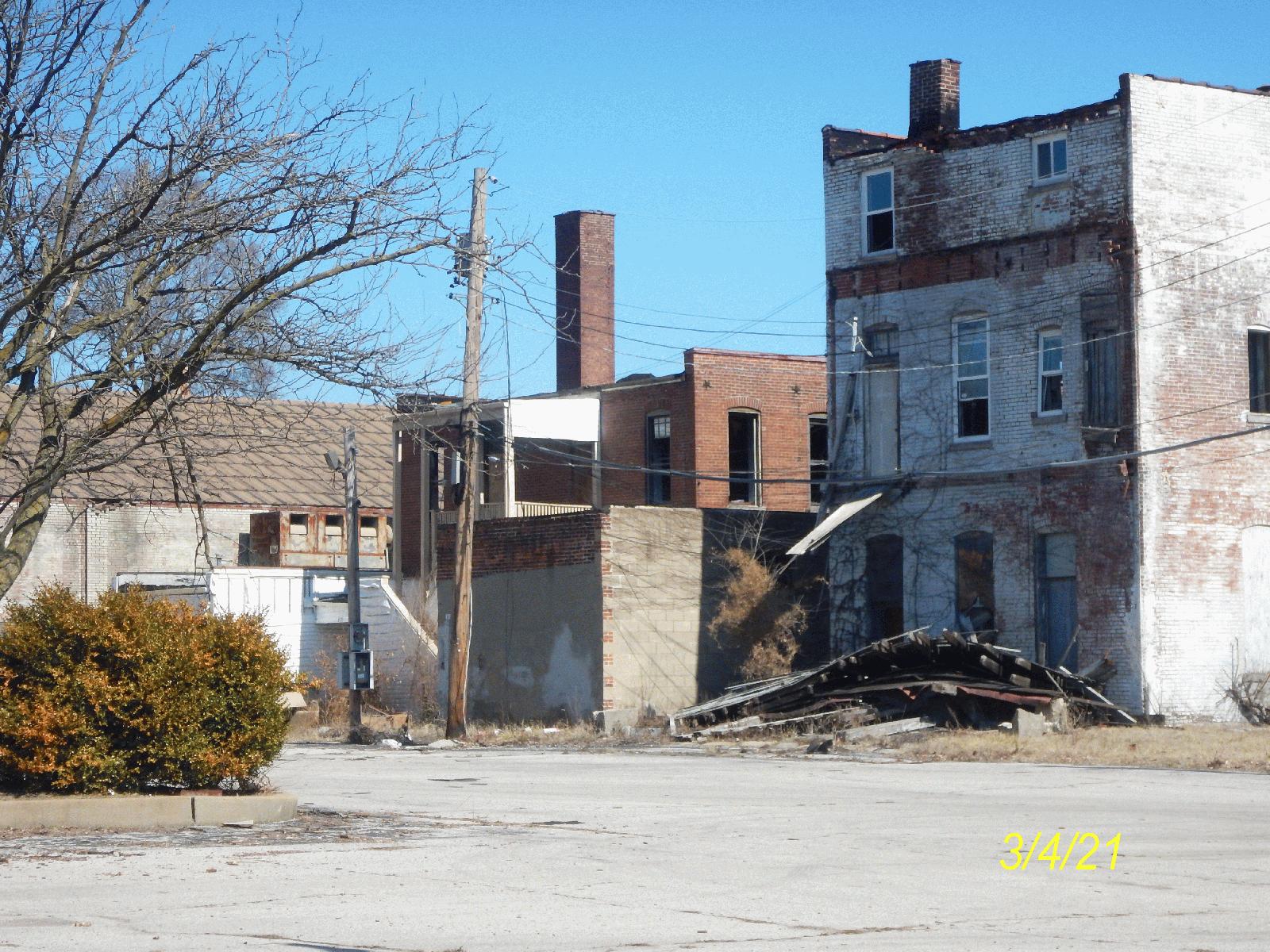
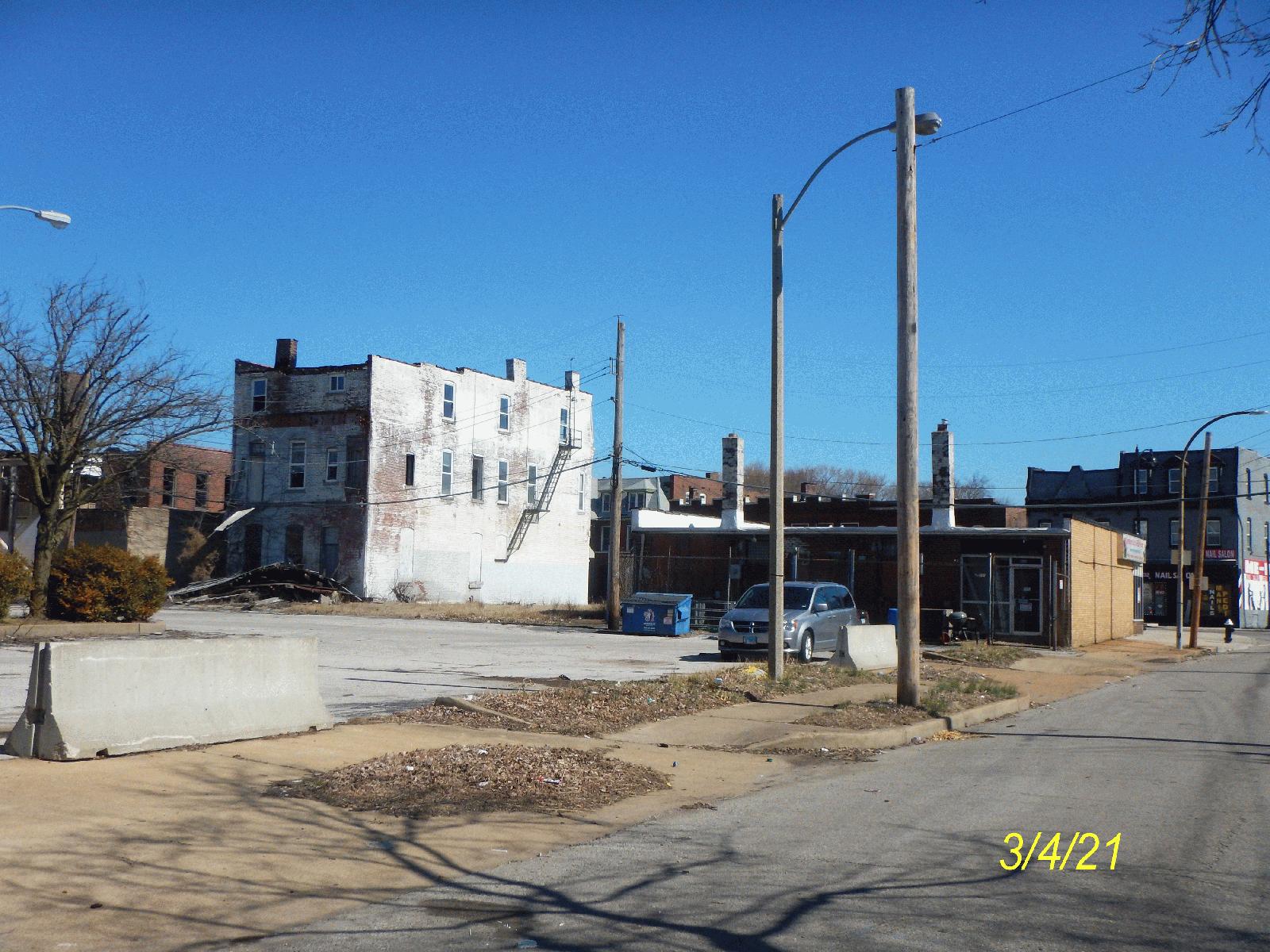
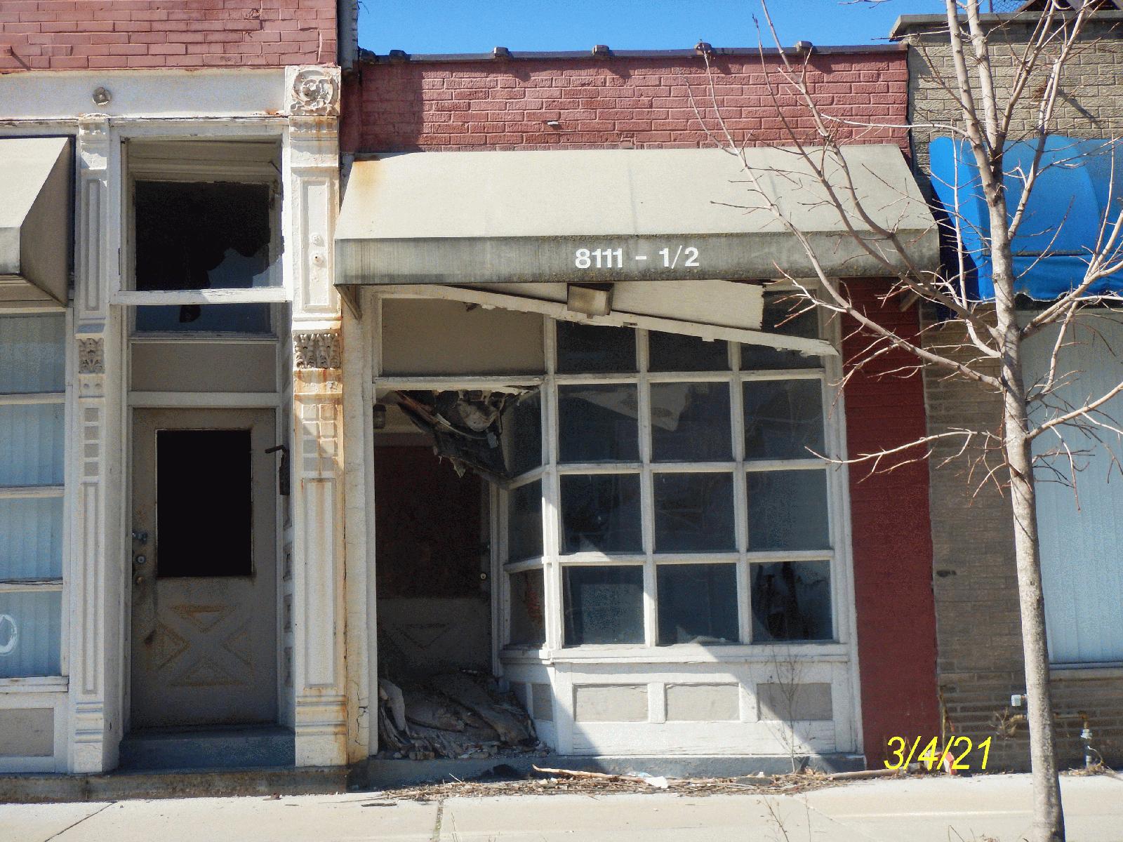
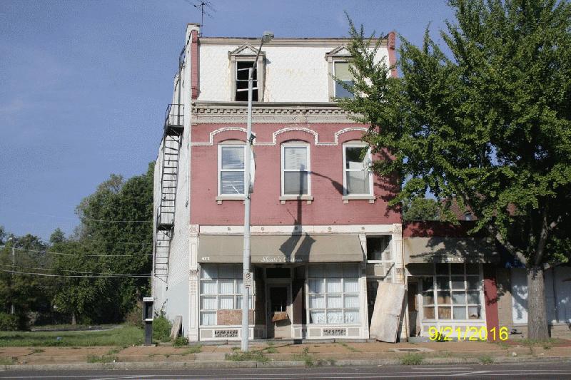
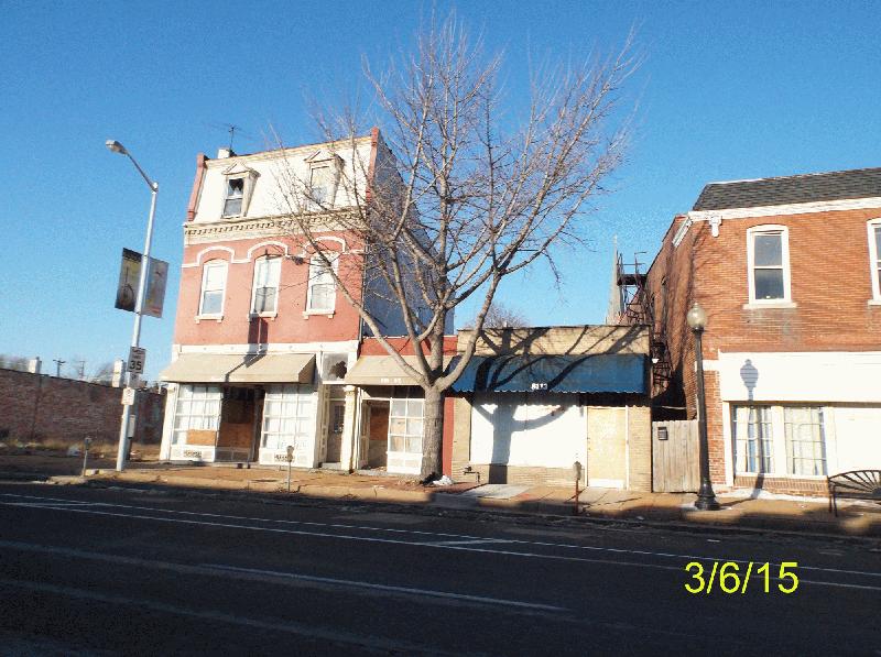
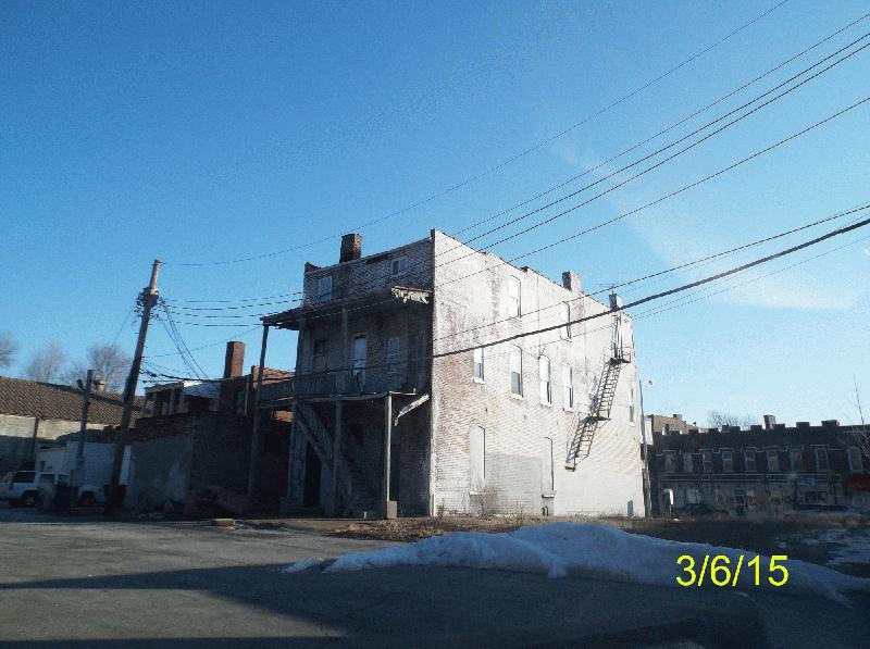
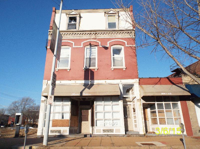
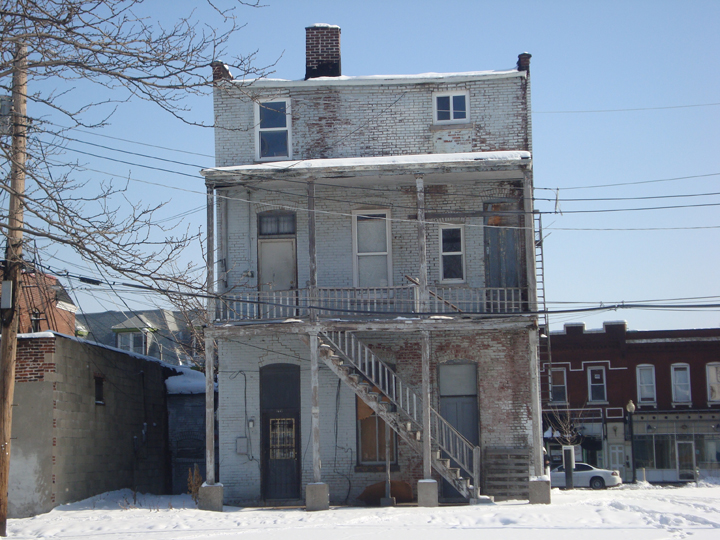
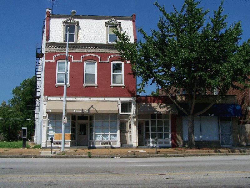
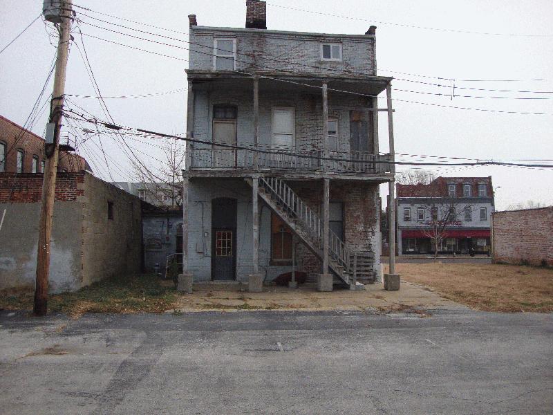
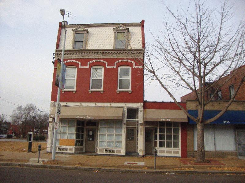
Address & Property Search
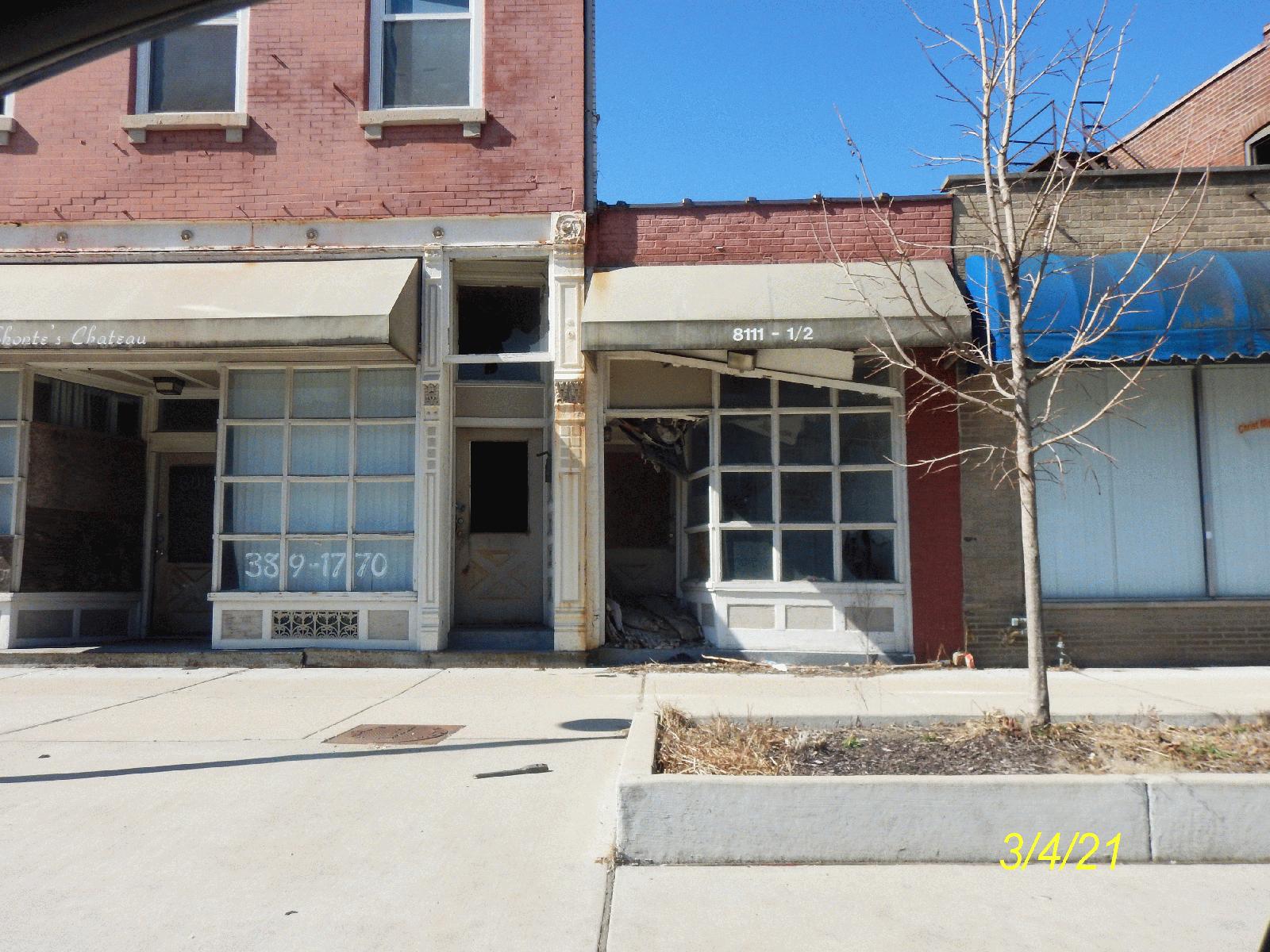
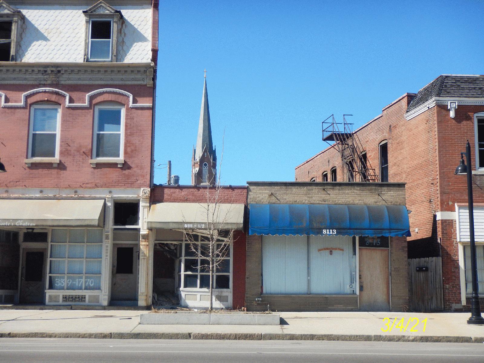
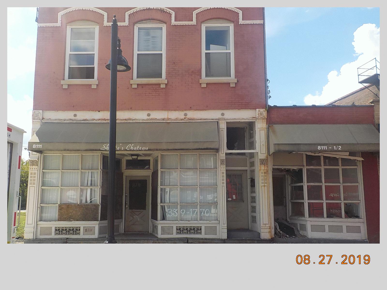
Your search for 8111 N BROADWAY
Basic Info
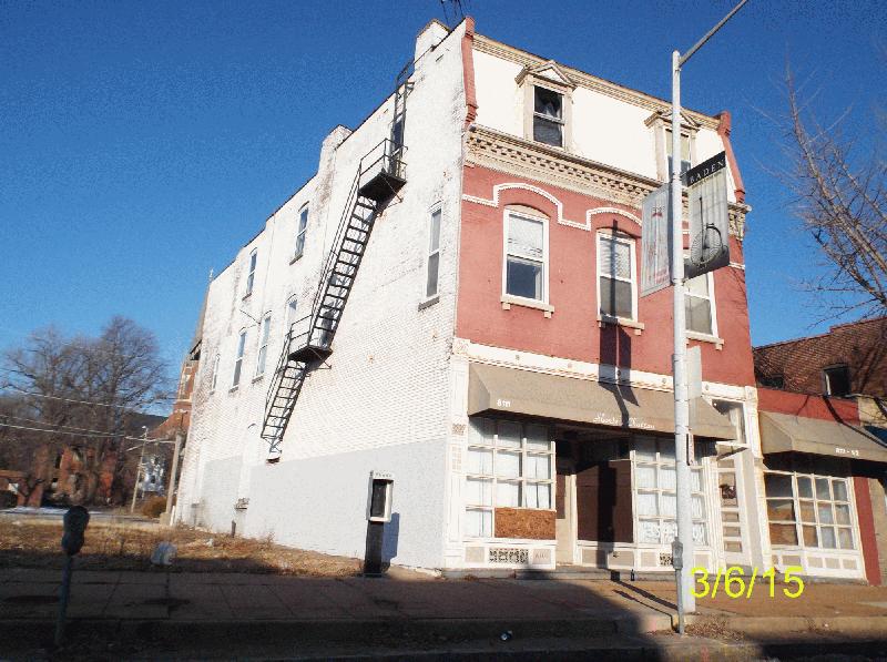
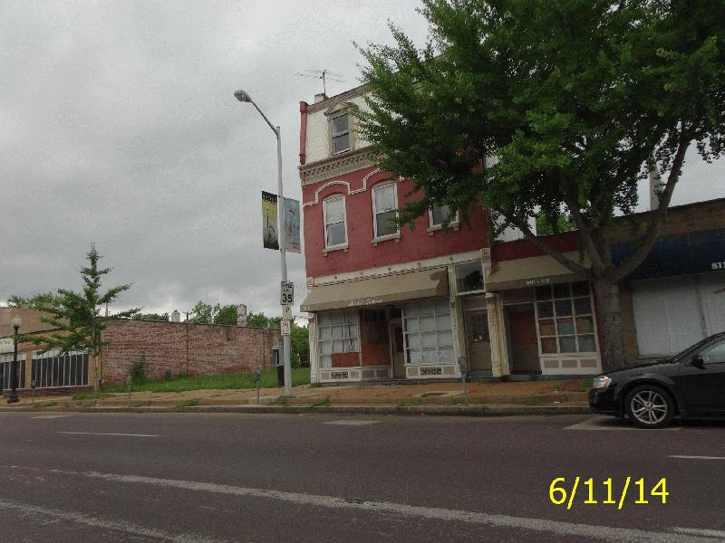
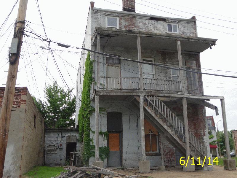
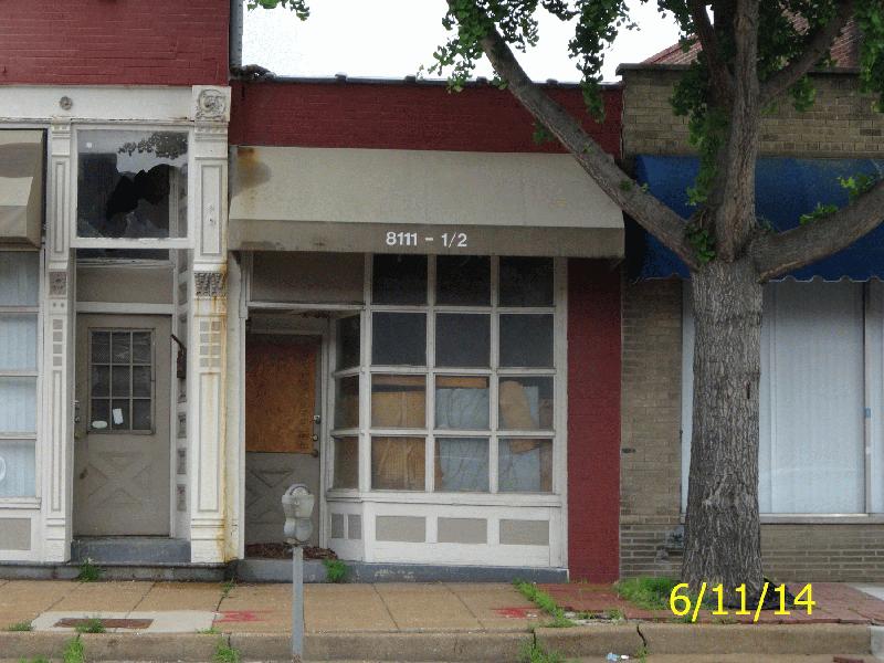
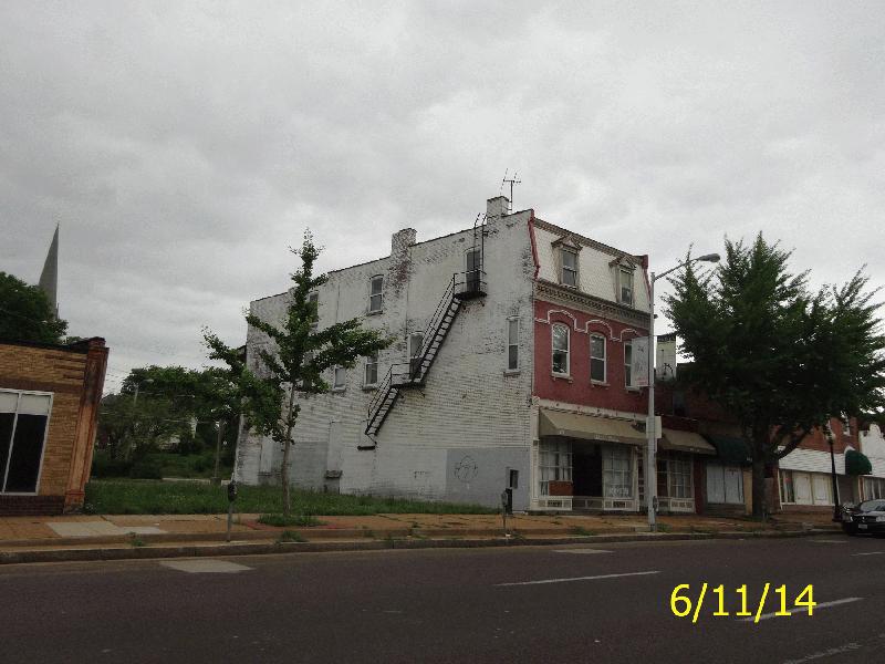
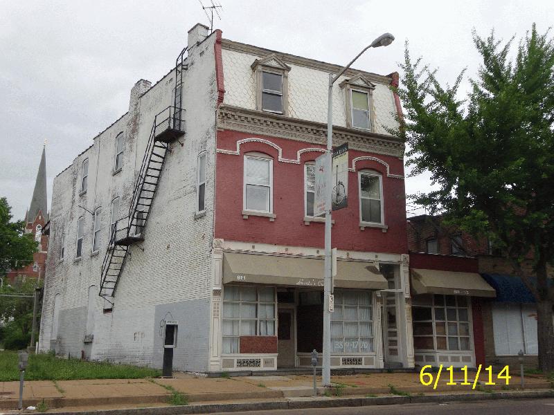
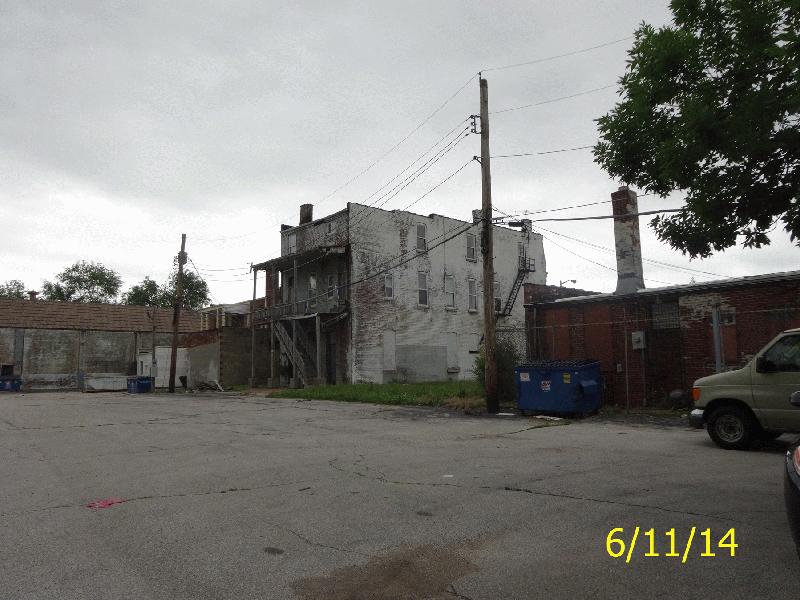
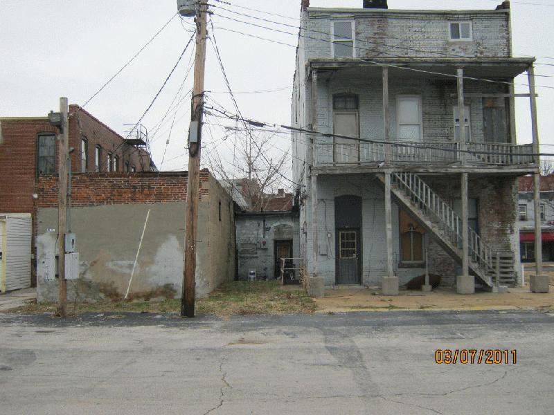
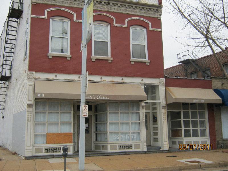
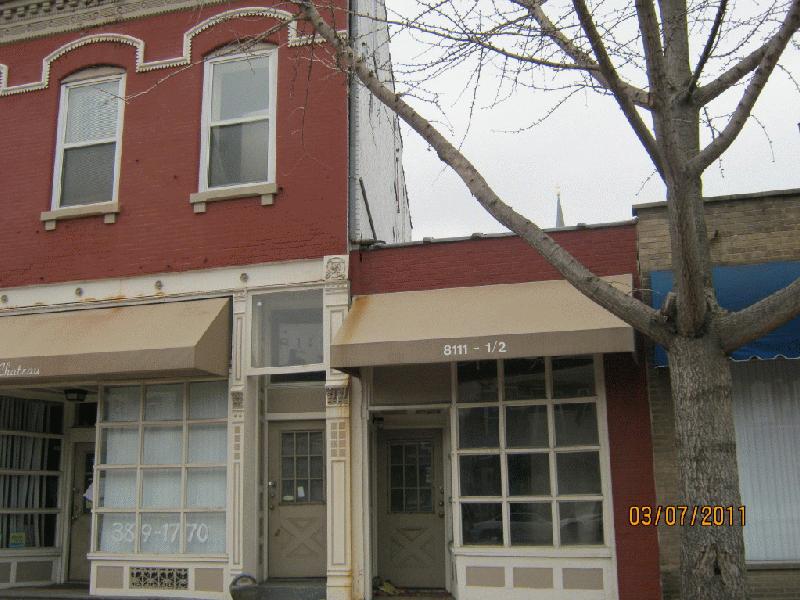
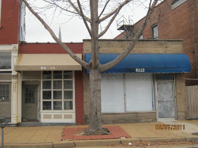
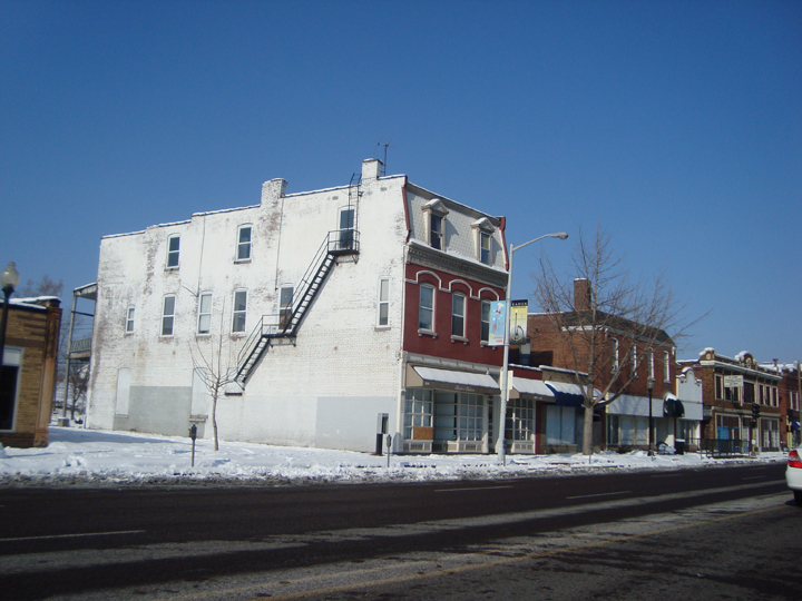
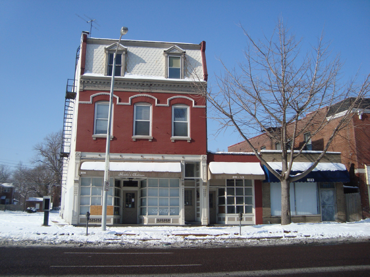
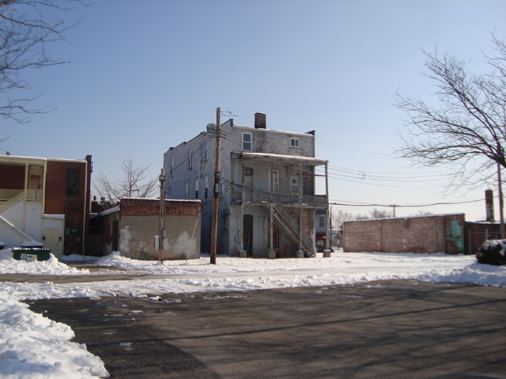
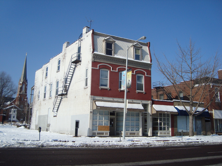
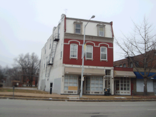
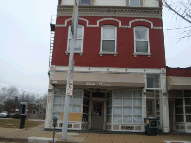
| Primary address | 8111 N BROADWAY ST ST LOUIS MO 63147 |
|---|---|
| Owner name | BROADWAY, ANTHONY & TYANNA |
| Parcel ID | 4255-9-060.000 |
| Collector of Revenue account | 4255-00-00607 |
| Neighborhood | 74 - Baden |
| Ward/Precinct | Ward 12, Precinct 19 |
| Property Class | COMMERCIAL, RESIDENTIAL |
| Tax Abatement | This property is not abated |
| Property description
Not meant for use in recorded legal documents |
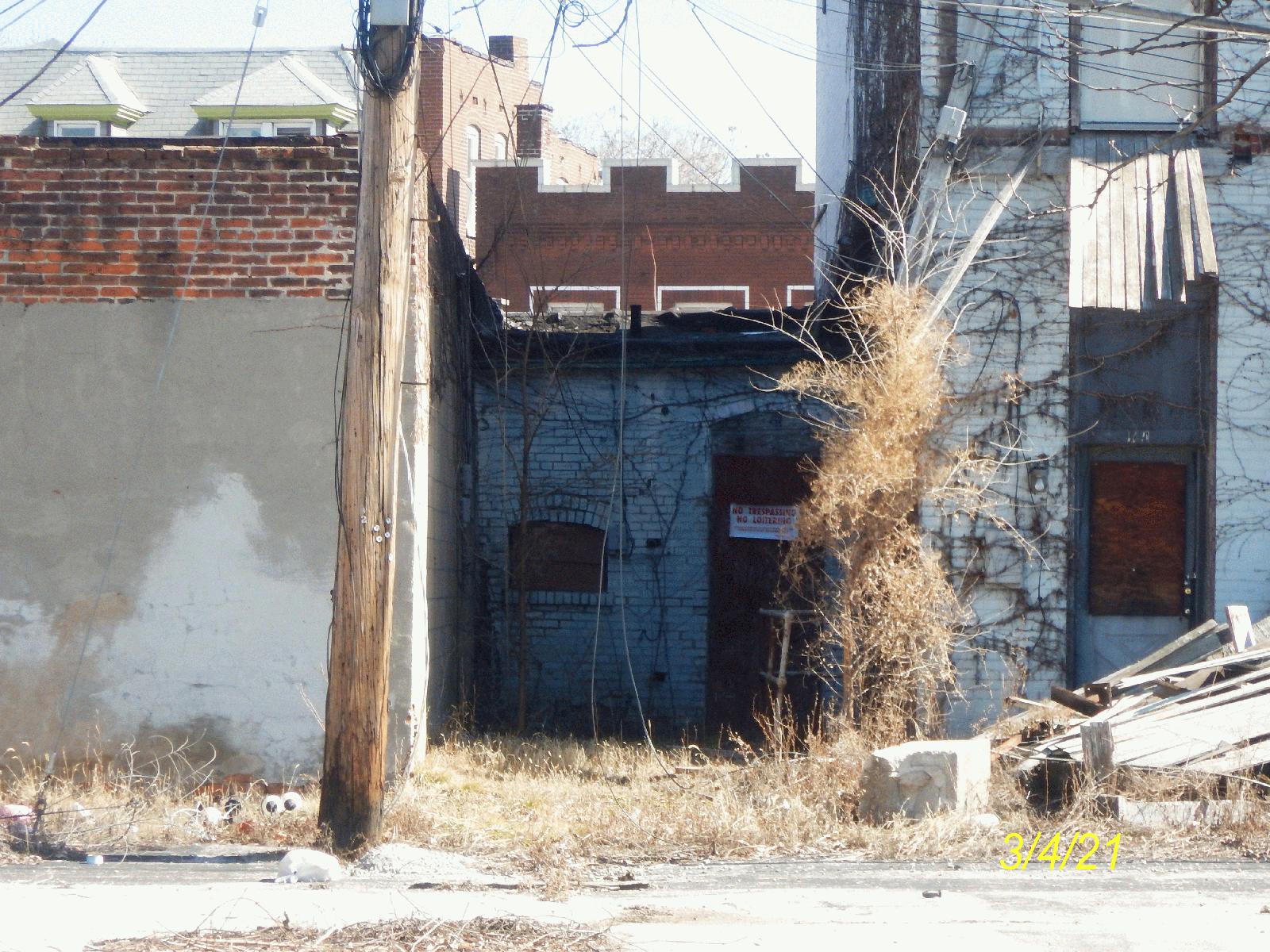
C.B. 4255 BROADWAY, 0.077 ACS, GIMBLIN ESTATE ADDN, LOT SE 10 |
Maps
Parcel Map
Parcel information, streets, and strategic land use planning (SLUP) information.
Zoning Map
Zoning for this parcel: G. Local Commercial and Office
Legend
-
 A. Single Family Residential
-
 B. Two Family Residential
-
 C. Multi Family Residential
-
 D. Multi Family Residential
-
 E. Multi Family Residential
-
 F. Neighborhood Commercial
-
 G. Local Commercial
-
 H. Area Commercial
-
 I. Central Business
-
 J. Industrial
-
 K. Unrestricted
-
 L. Jeffersion National Memorial
Right of Way Map
Measurements, easements, vacated ordinances, blocks, lots, subdivisions, etc.
Plat Maps
Plat maps provide information about parcels of property for tax purposes. They can be helpful in answering property boundary questions. The historic plat maps provided serve as archival records and are not updated.
Real Estate and Property Information
Data provided by Assessor's Office
Property Information
| Owner name: | BROADWAY, ANTHONY & TYANNA |
|---|---|
| Owner mailing address: | 1900-1902 ANGELICA ST ST LOUIS, MO 63107 |
| Property address | 8111 N BROADWAY ST ST LOUIS MO 63147 |
| Zip code | 63147 |
| Parcel ID | 4255-9-060.000 |
| Collector of Revenue account | 4255-00-00607 |
| Year built | N/A |
Parcel Information
| Condominium | No |
|---|---|
| Number of units | n/a |
| Frontage | 0.00 feet |
| Land area | 2436.48 |
| Property description
Not meant for use in recorded legal documents |
C.B. 4255 BROADWAY, 0.077 ACS, GIMBLIN ESTATE ADDN, LOT SE 10 |
Land Use Information
| Property use | Commercial |
|---|---|
| Property class | COMMERCIAL, RESIDENTIAL |
| Zoning | G - Local Commercial and Office |
| Within 1/2 mile of planned Green Line stations | No |
| Redevelopment code | N/A |
| Vacant lot | No |
| Deed records: | Search Recorder of Deeds data |
Appraised Value
Please note that this parcel is tax abated under both Missouri Statue and City of St. Louis ordinance. Under the terms of the abatement, the assessment does NOT have a direct correlation to market value for the duration of the abatement. As an abated parcel, the Assessor does not determine an estimate of market value for biennial reassessment. The market value shown is merely the assessed value divided by the appropriate assessment ratio.
BackAssessment Information
The assessed value reflects the parcel/property as it existed on January 1 of the appropriate assessment year. Any changes made to the parcel/property after January 1st will be reflected after the next reassessment of the property.
Current 2025 Assessed Values
| Residential Land | $150.00 |
|---|---|
| Residential improvements | $3,020.00 |
| Assessed total | $3,170.00 |
| Appraised total | $16,700.00 |
| Commercial Land | $700.00 |
|---|---|
| Commercial improvements | $5,100.00 |
| Assessed total | $5,800.00 |
| Appraised total | $18,000.00 |
Prior 2024 Assessed Values
| Residential Land | $150.00 |
|---|---|
| Residential improvements | $3,020.00 |
| Assessed total | $3,170.00 |
| Appraised total | $16,700.00 |
| Commercial Land | $700.00 |
|---|---|
| Commercial improvements | $5,100.00 |
| Assessed total | $5,800.00 |
| Appraised total | $18,000.00 |
Sales History
| Sales date | Sales Price | Transaction Type |
|---|---|---|
| 08/25/2021 | $20,000.00 | Sold from LRA |
| 09/01/1983 | $16,950.00 | Valid |
Real Estate Tax Summary
Data provided by Collector of Revenue
Collector of Revenue Account Number: 4255-00-00607
| Tax Year | Total Original Tax | Balance | Action |
|---|---|---|---|
| 2024 | $845.95 | $0.00 | Print Receipt |
| 2023 | $809.06 | $0.00 | Print Receipt |
| 2022 | $836.57 | $0.00 | Print Receipt |
Disclaimer
The information on this site is updated weekly, and may not show the most current balance. Please note that due to statutory regulations and some time-sensitive cases, not all accounts can be paid using the online payment system. We apologize for this inconvenience. If you have any additional questions or concerns, please contact the Real-Estate department at (314) 622-4106.
Building Permit Records
| Owner Name | Permit Type | Application Date | Completion Date | Issued Date | New Use | Estimated Costs | Description |
|---|---|---|---|---|---|---|---|
| BROADWAY, ANTHONY & TYANNA | Occupancy | 12/16/2024 | 01/09/2025 | EVENT SPACE | $0.00 | EVENT SPACE-1ST FLR (NO COOKING/NO LIQUOR) PARTIAL PMT | |
| BROADWAY, ANTHONY & TYANNA | Building | 12/10/2024 | 01/09/2025 | OFFICES | $2,570.00 | INSTALL (2) MARQUEE SIGNS NON-ILLUMINATED PER PLANS | |
| BROADWAY, ANTHONY & TYANNA | Occupancy | 12/02/2024 | BANQUET HALL/EV | $0.00 | EVENT SPACE (NO ALCOHOL, NO COOKING) | ||
| BROADWAY, ANTHONY & TYANNA | Electrical | 06/06/2024 | 06/06/2024 | $2,051.00 | AT&T BROADWAY | ||
| BROADWAY, ANTHONY & TYANNA | Electrical | 06/04/2024 | 06/05/2024 | $2,051.00 | AT&T BROADWAY LLC |
View all building permits for 8111 N BROADWAY ST ST LOUIS MO 63147
Data provided by Building Permits Section
Boundaries and Geography
Geographic Boundaries
| City block number | 4255.00 |
|---|---|
| Neighborhood | 74 - Baden |
| Ward/Precinct | Ward 12, Precinct 19 |
| Census tract | 1081.00 |
| Census block | 2019 |
| Assessment neighborhood | C335 |
| Housing conservation dist. |
Your Address is in Housing Conservation District Number 37. (What Are the Requirements for Housing Conservation Districts?) |
| Zoning | G - Local Commercial and Office |
Economic Development Areas
| TIF district number | No |
|---|---|
| Enterprise Zone | No |
| HUBZone | No (More Info) |
| HUD qualifying census tract (2022) | Yes (More Info) |
| Community needs grant | Yes (See Ordinance 71504) |
| Midtown redevelopment | No |
| Special business district | No |
Trash and Maintenance
Data provided by Streets Department
Refuse Schedule
Roll Out Carts
Showing regular schedules below. View Holiday Schedule.
Trash: Tuesday
Recycling: Friday
Yard waste: Wednesday
Yard Waste collection is discontinued in the middle of December and resumes in the middle of March.
Large bulk items: Week of the 4th Monday of the month
Alley Dumpsters
July 1, 2025: The pause on alley recycling remains in effect while we rework our recycling plan, and we will be including stakeholder engagements before introducing new changes. For now, constituents with alley recycling dumpsters should use our Drop-Off Recycling Locations.
Trash: At least once per week
Recycling: At least once per week
Yard waste: Thursday
Yard Waste collection is discontinued in the middle of December and resumes in the middle of March.
Large bulk items: Week of the 4th Monday of the month
Street Cleaning Schedule
Route: 40B
Days: First Thursday/First Friday
Times: 12:00 PM - 3:30 PM
Notes: Gimblin 1st R/F PM; McLaran 2nd R/F PM
Seasonal Cleanup
Forestry Cutting Schedule
On the cutting schedule: Yes
This property's scheduled cut date is pending.
Operation Brightside
OB Region: Region 4 North
Snow Route
Help Us Improve This Page
Did you notice an error? Is there information that you expected to find on this page, but didn't? Let us know below, and we'll work on it.
Feedback is anonymous.
73 comments from people like you have helped us improve this page. Keep the feedback coming!